Goulais River Provincial Park protects a linear corridor of river, forest, and wetland ecosystems along the Goulais River in northern Ontario, near the community of Goulais River and Lake Superior. This non-operating park was established to conserve the natural character of the river system and surrounding Canadian Shield landscape rather than to provide developed recreational facilities.
The park follows sections of the Goulais River as it flows through mixed forests, wetlands, and exposed bedrock. There are no maintained trails, campgrounds, or visitor services, and access is informal. Use of the park is typically limited to low-impact activities such as canoeing, fishing, wildlife observation, and short backcountry visits by experienced users. The river includes a mix of calm stretches and faster-moving sections, and the surrounding habitats support wildlife commonly found in the Algoma region.
Goulais River Provincial Park is best suited to visitors interested in undeveloped river corridors and conservation areas. Its value lies in the protection of a natural waterway and adjacent landscapes, offering a quiet, minimally disturbed setting representative of northern Ontario’s river environments.
General Information
Location
Goulais River Provincial Park is strategically located near Goulais River, offering a natural haven for outdoor enthusiasts. Its proximity to Goulais Bay and Lake Superior makes it easily accessible for both local residents and visitors from across the region.
Latitude: 49.758122 Longitude: -92.653490
Facilities & Recreation
The Goulais River is known for its challenging backcountry paddling, with sections of swift current, rapids, and waterfalls. It attracts skilled paddlers looking for technical river travel and a sense of adventure. Conditions can change quickly with water levels, so strong route-finding skills and whitewater experience are essential.
Anglers are drawn to the Goulais River for its self-sustaining brook trout population, a highlight for those seeking cold-water fishing in a natural setting. Other species, including bass and yellow pickerel, may also be found in certain stretches. A valid Ontario fishing licence is required, and anglers should follow all provincial regulations.
There are no developed hiking trails within the park, but nearby routes provide access to the surrounding landscape. The Goulais River Trail, part of the Voyageur Trail system, runs approximately 16.8 km between Highway 552 East and Old Goulais Bay Road, offering long-distance hiking with river views, forested sections, and rugged terrain.
Hunting is permitted in designated areas of the park in accordance with Ontario hunting regulations. Hunters must carry the appropriate licences and follow seasonal and Wildlife Management Unit rules.
In winter, the park remains accessible for snowshoeing and cross-country skiing, though there are no groomed trails or winter facilities. Visitors should be prepared for unmarked routes, deep snow, and remote conditions.
Nearby Attractions
Robertson Lake Cliffs Trail: This trail offers hikers scenic views of the surrounding landscape, making it a popular spot for outdoor enthusiasts.
Île Parisienne Lighthouse: A historic lighthouse that adds a touch of maritime history to the region, attracting visitors interested in local heritage.
Blaq Bear Eco Adventure Routes: Offering eco-friendly adventure tours, Blaq Bear provides unique experiences for those looking to explore the natural beauty of the area.
Hogan’s Homestead Sugar Shack: A local establishment where visitors can learn about maple syrup production and enjoy some sweet treats.
Goulais River Trail: A 16.8 km point-to-point trail that is part of the Voyageur Trail, offering moderate hiking opportunities through diverse terrains.
Nearby Parks
Park Blog
-

Ontario Provincial Parks With the Best Hiking Trails
Discover nine Ontario Provincial Parks with some of the best hiking trails in the province. From scenic Lake Superior lookouts and challenging mountain climbs to waterfalls and easy family-friendly walks, explore outstanding hiking destinations. Compare trail distances, difficulty levels, and attractions, and find practical tips to help plan your next Ontario hiking adventure.
-

Where to Eat Near Pinery Provincial Park
Looking for somewhere to eat while camping at Pinery Provincial Park? Discover restaurants, cafés, pizza, pub food and easy takeout options in nearby Grand Bend and Port Franks, plus convenient food choices inside the park. Find ideas for breakfast, lunch or dinner when you’re ready to give the camp stove a break.
-

Visiting Sleeping Giant Provincial Park: What You Need to Know
Discover Sleeping Giant Provincial Park near Thunder Bay, from camping at Marie Louise Lake and hiking the famous Top of the Giant to paddling, cycling, fishing, and shorter nature trails. Learn what to pack, where to camp, when to visit, and what you should know before exploring this spectacular Northern Ontario park.
-

Radio-Free Campgrounds in Ontario Provincial Parks
Looking for a quieter camping experience? Discover radio-free campgrounds in Ontario Provincial Parks, including options at Awenda, Bon Echo, Algonquin, Grundy Lake, MacGregor Point, Balsam Lake and more. Learn what radio-free camping means, how it differs from generator-free camping, and how to choose the right campsite for your next Ontario adventure.
-
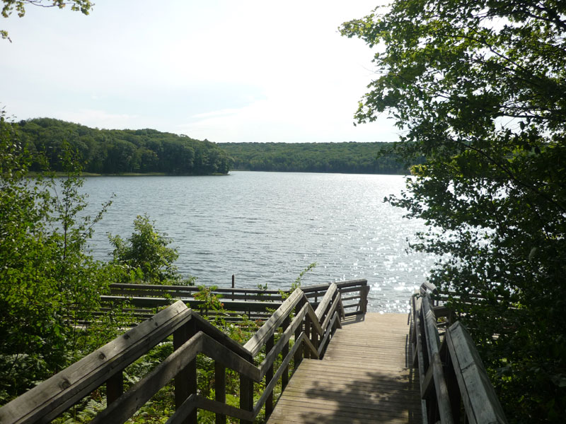
Family-Friendly Ontario Provincial Parks Worth Visiting
Discover some of the best family-friendly Ontario provincial parks for camping, swimming, hiking, paddling, wildlife watching, and outdoor adventures. From Sandbanks and Pinery to Algonquin, Awenda, Killbear, and more, these parks offer plenty of ways for families to enjoy time together outside.
-
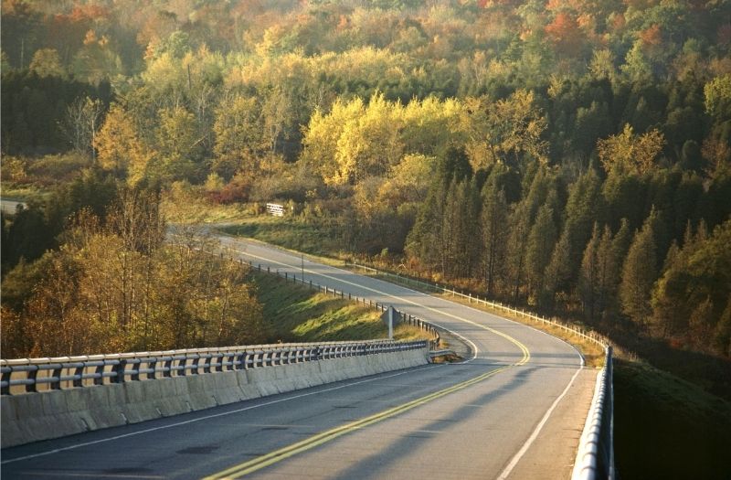
Scenic Drives Near Ontario Provincial Parks
Discover some of the best scenic drives near Ontario provincial parks, from Highway 60 through Algonquin to the rugged Lake Superior shoreline. Explore beautiful routes near Killarney, Bon Echo, Pinery, the Bruce Peninsula, and Northwestern Ontario, with ideas for viewpoints, small towns, hikes, beaches, and stops along the way.